
- right Henderson Creek - elevation 585 m (1,919 ft) - elevation 0 m (0 ft) Source Great Otway National Park | - location below Mount Cowley] Mouth Bass Strait | |
 | ||
- left Small Creek, Cora Lynn Creek | ||
The St George River, or sometimes incorrectly Saint George River, is a perennial river of the Corangamite catchment, located in The Otways region of the Australian state of Victoria.
Contents
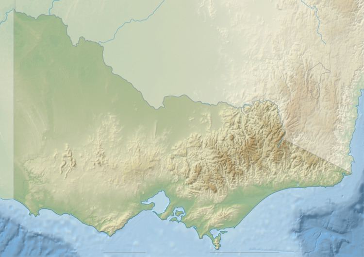
Map of St George River, Lorne VIC, Australia
Location and featuresEdit
The St George River rises in the Otway Ranges in southwest Victoria, below Mount Cowley and flows generally east through the Port Campbell National Park, joined by three minor tributaries, before reaching its river mouth and emptying into Bass Strait, northeast of Cape Otway and south of the town of Lorne. From its highest point, the river descends 585 metres (1,919 ft) over its 14-kilometre (8.7 mi) course.
References
St George River (Victoria) Wikipedia(Text) CC BY-SA