Local time Friday 10:06 AM | Postcode(s) 3941 Postal code 3941 | |
 | ||
Weather 14°C, Wind SW at 18 km/h, 63% Humidity | ||
St Andrews Beach is located on the Bass Strait side of the southern Mornington Peninsula and it is south of Rye. It was first subdivided in the 1959 and the subdivision was originally marketed as "Capri Beach". In the 1962 a golf course (since closed) was constructed and the subdivision was remarketed as St. Andrews by the Sea. Originally the homes that were built were small holiday homes but later in the 20th century more substantial homes began to be built as its location became more appreciated. At this time the name St Andrews Beach was adopted by the Council as its official name.
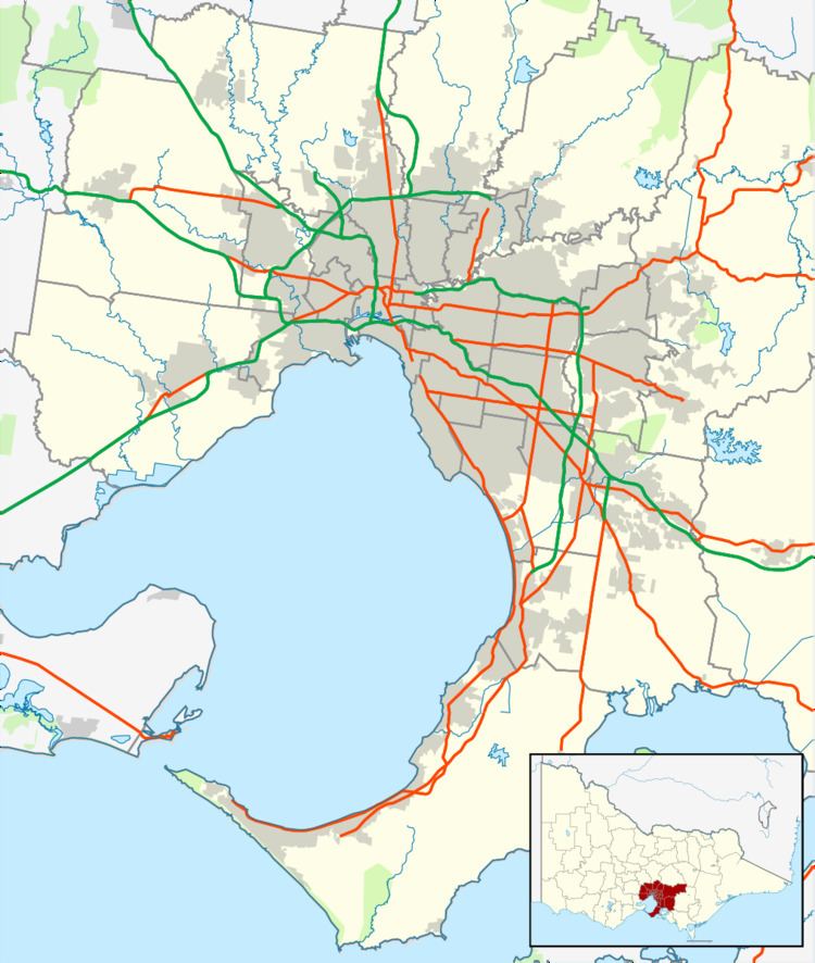
Map of St Andrews Beach VIC 3941, Australia
It is in the local government area of the Shire of Mornington Peninsula. At the 2001 census, St Andrews Beach had a population of 664. and at the 2007 Census the population was 769. At the 2011 Census, the population was 1,138.
St Andrews Beach features a unique topography known as The Cups Country, which creates the ideal environment for golf courses. Golfers have a choice of several nearby golf courses including the St Andrews Beach Club on Sandy Road, Moonah Links off Truemans Road, and The Dunes on Browns Road.
