
Population 35,091 (2011 census) Postcode(s) 3021 Founded 1887 | Established 1887 Area 13 km² Postal code 3021 Federal division Division of Maribyrnong | |
 | ||
Location 15 km (9 mi) from Melbourne | ||
St Albans is a suburb 15 km (9 mi) north-west of Melbourne, Victoria, Australia. Its local government area is the City of Brimbank. At the 2011 Census, St Albans had a population of 35,091.
Contents
- Map of St Albans VIC 3021 Australia
- History
- Demographics
- Trains
- Buses
- Cycling
- Flora and fauna
- Education
- Sport
- References
Map of St Albans VIC 3021, Australia
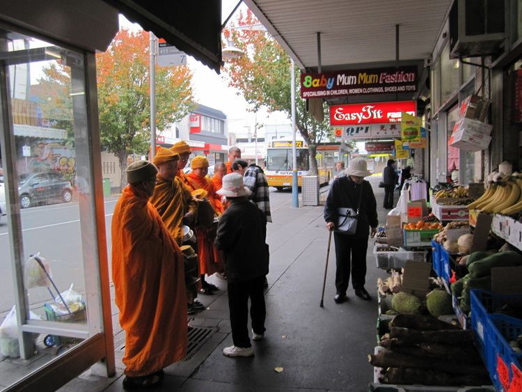
St Albans' main commercial and shopping precinct is located on Main Road West, Main Road East, Alfrieda Street, the railway station and East Esplanade. It has become a very multicultural area with 53.5% of residents being born overseas and has a high proportion of non-English speaking background residents. The postcode is 3021.
History
St Albans was first established as a township in 1887 and originally subdivided by the Cosmopolitan Land and Banking Company Ltd. who had acquired nearly 1,000 acres (4.0 km2) in the hope of a quick financial gain during that period's land boom. The town was promoted as an attractive location for professionals who had easy rail access to central Melbourne and adjoining suburbs with a recently constructed railway station platform attracting potential homeowners to industry in nearby locations. St Albans Post Office opened on 22 October 1888.
Development of St Albans suddenly slowed with the economic depression of the late 1890s and did not restart in large numbers until after World War II, with the influx of displaced people and continuing through the 1950s and 1960s with the influx of European migrants in response to the Australian Government's gradual relaxation of its White Australia Policy in 1947, 1957 & 1958.
During the 1890s depression many local farmers struggled to make a living, especially as the properties were relatively small, i.e. averaging about 60 acres, after the subdivision of Keilor Common under the Closer Settlement Scheme in 1869. Farmers who acquired land in the area after the subdivision of the Overnewton Estate in 1905 did better, because their selections were between 200 and 300 acres. Local farmers had been involved in growing crops as well as grazing of sheep, dairying of cattle, and some breeding of horses. Horses were also being trained locally for the Melbourne Cup and the Caulfield Guineas, some were successful.
St Albans remained geographically isolated from other suburbs, with large areas of open land between it and other suburbs, until the 1980s.
St Albans is now considered to be a middle-city suburb as the Melbourne Metropolitan area boundary now extends to over 35 km (22 mi) from the Melbourne CBD.
Demographics
St Albans' ethnic makeup is predominantly second and third generation immigrants. The ABS 2001 Census reported that 43% were of Southern or Eastern European origin, with 10% of Maltese extraction alone and about 20% from the Balkan region, including Albanians, Bosnians, Croatians, Macedonians and Serbs. Significant communities from Vietnam and the Philippines were also reported.
Since the 2001 Census, there has also been a rapid increase in the number of refugees from the Horn of Africa settling in St Albans.
In the 2011 census the population of St Albans was 35,091, approximately 50.3% female and 49.7% male.
The median/average age of the people in St Albans is 36 years of age.
34.6% of people living in the suburb of St Albans were born in Australia. The other top responses for country of birth were 15.7% Vietnam, 6.3% India, 4.2% Malta, 2.7% Philippines, 2.5% Croatia, 1.7% Macedonia, 1.7% Greece, 1.5% Bosnia and Herzegovina, 1.3% China, 1.2% Italy, 1.1% New Zealand, 1.0% Sudan, 1.0% Germany, 0.9% Serbia.
24.5% of people living in St Albans speak English only. The other top languages spoken are 22.3% Vietnamese, 7.8% Language spoken at home not stated, 6.6% Other, 4.5% Maltese, 4.1% Punjabi, 3.2% Croatian, 3.0% Cantonese, 2.9% Greek, 2.4% Macedonian.
The religious makeup of St Albans is 32.8% Catholic, 17.3% Buddhism, 9.5% No religion, 9.5% Religious affiliation not stated, 8.7% Eastern Orthodox, 5.2% Islam, 3.8% Other Religious Groups, 2.7% Anglican, 2.6% Hinduism, 1.4% Christian, nfd.
The median individual income is $352 per week and the median household income is $865 per week.
The median rent in St Albans is $250 per week and the median mortgage repayment is $1400 per month.
Trains
St Albans has three train stations, all in PTV ticketing Zone 2 on the Sunbury line. These are Ginifer, St Albans and Keilor Plains
The line was electrified as far as St Albans until 26 January 2002 when it was extended to Sydenham. Sydenham line was electrified to Sunbury and renamed the Sunbury railway line, opening on 18 November 2012.
Buses
St Albans has numerous bus services that service St Albans itself and neighboring suburbs, most of which start and finish at St Albans railway station.
Cycling
Cyclists in St Albans are represented by BrimBUG, the Brimbank Bicycle User Group.
Flora and fauna
Great parks are located on the East and West borders of the suburb. These areas (particularly in the West) used to have large healthy populations of native reptiles, including Tiger snake, Eastern Blue-tongued Lizard and Eastern brown snake. Unfortunately due to development these species are now rarely seen in the area.
Due to development of the Cairnlea estate on the southern border of St Albans, native species of frogs have taken advantage and have taken up residence in the new wetlands and lakes. The Eastern Banjo Frog, Common Eastern Froglet and even the now endangered Growling Grass Frog have been seen and heard in the new wetlands and around Kororoit Creek.
Education
St Albans boasts a large number of schools including the following;
Sport
The suburb has an Australian Rules football team, St Albans Football Club, competing in the Western Region Football League, with the club actually based in neighbouring Kings Park. The club has been very successful particularly over recent years.
The local soccer team, the St Albans Saints is backed by the Croatian community. Whilst the Green Gully Cavaliers are backed by the Maltese community. Both currently compete in the Victorian Premier League and both have significant support.