
Country Thailand Time zone THA (UTC+7) Area 252.1 km² Province Phatthalung Province | Seat Chumphon Postal code 93000 Population 25,412 (2005) Geocode 9311 | |
 | ||
Srinagarindra (Thai: ศรีนครินทร์, [sǐː.ná(ʔ).kʰā.rīn]) is a district (Amphoe) of Phatthalung Province, southern Thailand.
Contents
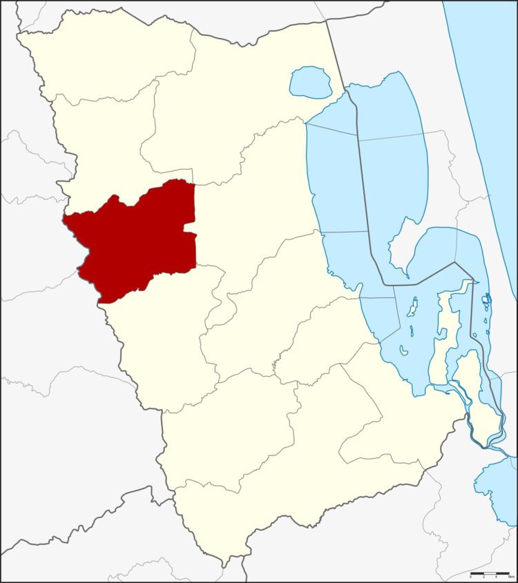
Map of Srinagarindra District, Phatthalung 93000, Thailand
Geography
Neighboring districts are (from the north clockwise) Si Banphot, Khuan Khanun, Mueang Phatthalung and Kong Ra of Phattalung Province, Yan Ta Khao and Na Yong of Trang Province.
History
The minor district (King Amphoe) was established on June 26, 1996, when it was split off from Mueang Phatthalung district. The new district became effective on July 15. At first named Chumphon after the main tambon, it was renamed to Srinagarindra on December 30, 1996.
Following a decision of the Thai government on May 15, 2007, all of the 81 minor districts were to be upgraded to full districts. With the publishing in the Royal Gazette on August 24 the upgrade became official .
Administration
The district is subdivided into 4 subdistricts (tambon), which are further subdivided into 42 villages (muban). There are no municipal (thesaban), and 4 Tambon administrative organizations (TAO).