
Municipality Čukarica Time zone CET (UTC+1) Population 21,001 (2011) | Elevation 191 m (627 ft) Area code(s) +381(0)11 Local time Thursday 8:42 PM | |
 | ||
Weather 14°C, Wind NE at 6 km/h, 56% Humidity | ||
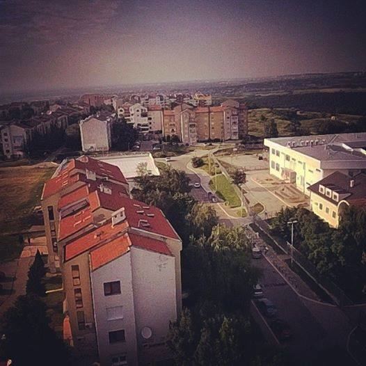
Sremčica (Serbian Cyrillic: Сремчица) is a suburban settlement within the municipality of Čukarica in the city of Belgrade, the capital of Serbia.
Contents
Map of Srem%C4%8Dica, Serbia
Location
Sremčica is located south of Belgrade and begins some 2 km south of the southernmost part of the neighborhood of Železnik (though centers of these two settlements are 6-7 kilometers apart). It is a typical road settlement stretched along the central Beogradska street, with many side streets simply being named Beogradska street part 1, 2, etc., but most of them got their own, separate names in 2004–2007. The northern section of the neighborhood makes a separate local community (mesna zajednica), sub-municipal administrative unit, named Gorica but is popularly called Naselje (Serbian for "settlement") by the local population, which numbered 5,358 in 2002. Southern part is organized as a local community with the same name as the entire settlement, Sremčica.
Demographics
According to the 2011 census results, Sremčica has 21,001 inhabitants. Predominantly a rural settlement, it is one of the fastest growing suburbs of Belgrade since the 1970s. However, its accelerated growth without any planned construction, is not followed by the equal growth of infrastructure, so most parts of Sremčica have some major communal problems (water, sewage, traffic). Despite having population of almost 21,000 inhabitants, only two bus lines (511 and 512) connects it to 20 km away Belgrade.
Geography
Terrain around the settlement is partially made of limestone (karstic micro-region, called Belgrade merokras). One of the best known features in Sremčica is a small pond, Rakina bara. It is a small natural lake with an area of 3 hectares, formed in the limestone pit. Turned into a fish pond and projected as the future recreational area, as the settlement grew, population from the neighboring slopes turned their sewage pipes into the pond which is today covered with reed and without any fish at all.