
Area 203 km² | Time zone BST (UTC+6) Local time Friday 12:37 AM | |
 | ||
Website Official Map of Sreenagar Weather 28°C, Wind S at 14 km/h, 80% Humidity | ||
Sreenagar (Bengali: শ্রীনগর) is an Upazila of Munshiganj District in the Division of Dhaka, Bangladesh.
Contents
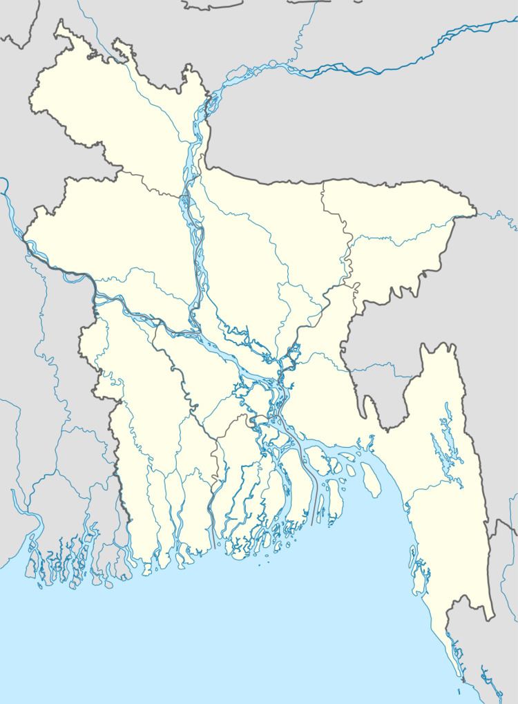
Map of Sreenagar, Bangladesh
Geography
Sreenagar is located at 23.5361°N 90.2917°E / 23.5361; 90.2917 . It has 36344 households and total area 202.98 km².
Demographics
As of the 1991 Bangladesh census, Sreenagar has a population of 205797. Males constitute 49.88% of the population, and females 50.12%. This Upazila's eighteen up population is 99514. Sreenagar has an average literacy rate of 39.1% (7+ years), and the national average of 32.4% literate.
Administration
Sreenagar has 14 Unions/Wards, 102 Mauzas/Mahallas, and 147 villages.
These Unions are= 1.Atpara 2.Baghra 3.Baraikhali 4.Bhagyakul 5.Birtara 6.Hasara 7.Kolapara 8.Kukutia 9.Patabhog 10.Rarikhal 11.Sreenagar 12.Sholaghar 13.Shyamsiddhi 14.Tantar
References
Sreenagar Upazila Wikipedia(Text) CC BY-SA