
 | ||
Location | ||
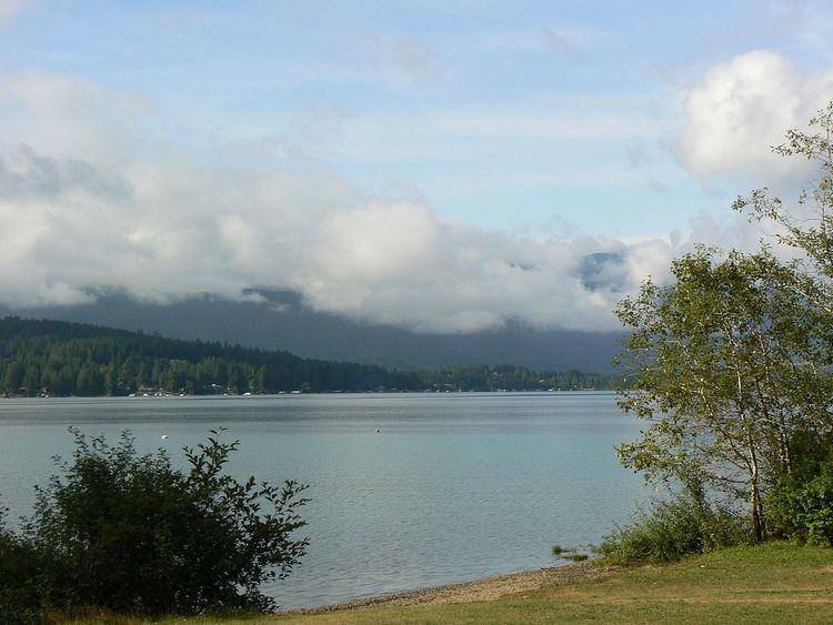
Sproat Lake, named after entrepreneur and colonial official Gilbert Malcolm Sproat, is a lake in central Vancouver Island. It was known as Kleecoot (meaning "wide open") by local indigenous people until it was renamed in Sproat's honour in 1864 by Dr. Robert Brown, who was leading an exploration expedition of the island.
Contents
Roughly cross-shaped with four arms, it is over 25 kilometres in length, but has 300 kilometres of shoreline. Home of the last Martin Mars type waterbombers, and near Port Alberni, Sproat Lake is a popular summer recreational area for the Alberni Valley. Highway 4 runs along its scenic north shore.
ParksEdit
In addition to a number of lakeside residences, the lake has three provincial parks on its shores: Sproat Lake Provincial Park, Taylor Arm Provincial Park, and Fossli Provincial Park.
Archaeological dataEdit
Although Sproat Lake is best known for being a scenic vacation spot, it is known to most archaeologists as a site left over by Archaic people no older than 11,000 BCE. The bow and arrow reached the region sometime early in this period, between 750 and 100 (cal) BCE (Blitz 1988; Pettigrew 1990; Ross 1990). The K’ak’awin petroglyph may represent a mythical or actual sea creature from ancient times. Many believe that they were carved by ancestors of the Nootka people from British Columbia, but there is no concrete evidence pointing to them. Not much is actually known about the people who created them.