
GNIS feature ID 0468739 Area 94.2 km² Local time Thursday 6:32 AM | FIPS code 19-93975 Elevation 219 m Population 2,857 (2000) | |
 | ||
Weather 6°C, Wind E at 23 km/h, 92% Humidity Points of interest Herbert Hoover President, Herbert Hoover National, Brick Arch Winery | ||
Springdale Township is one of seventeen townships in Cedar County, Iowa, USA. As of the 2000 census, its population was 2,857.
Contents
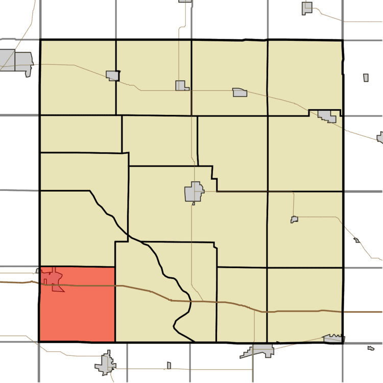
Map of Springdale, IA, USA
History
Springdale Township was established in 1853. Springdale Township was an important point on the Underground Railroad.
Geography
Springdale Township covers an area of 36.37 square miles (94.2 km2) and contains one incorporated settlement, West Branch. According to the USGS, it contains six cemeteries: Chamness, Downey, Hickory Grove, Old Friends, Springdale and West Branch. The unincorporated community of Springdale was historically important in the anti-slavery movement.
References
Springdale Township, Cedar County, Iowa Wikipedia(Text) CC BY-SA