
Postcode(s) 2666 Postal code 2666 | Local time Thursday 10:34 PM | |
 | ||
Location 3 km (2 mi) from Combaning23 km (14 mi) from Stockinbingal Weather 14°C, Wind SW at 18 km/h, 54% Humidity | ||
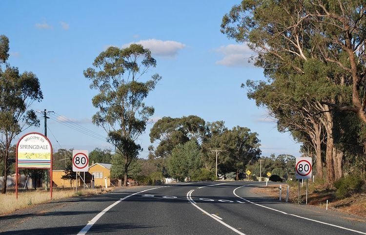
Springdale is a village community in the central north part of the Riverina region of the Australian state of New South Wales. It is situated by road, about 3 kilometres east from Combaning and 23 kilometres north west from Stockinbingal.
Map of Springdale NSW 2666, Australia
Springdale Post Office opened on 1 November 1897 and closed in 1977. A railway station on the branch line to Lake Cargelligo served the community between 1893 and 1975.
References
Springdale, New South Wales Wikipedia(Text) CC BY-SA