
Population 214 (2006 census) Local time Thursday 3:16 PM | Postcode(s) 2666 Elevation 303 m Postal code 2666 | |
 | ||
Location 409 km (254 mi) from Sydney98 km (61 mi) from Wagga Wagga13 km (8 mi) from Temora3 km (2 mi) from Springdale Weather 27°C, Wind SE at 16 km/h, 25% Humidity | ||
Combaning is a rural community in the north east part of the Riverina. It is situated by road, about 3 kilometres west from Springdale and 13 kilometres east from Temora. At the 2006 census, Combaning had a population of 214 people.
Contents
Map of Combaning NSW 2666, Australia
The place name Combaning is derived from the local Aboriginal word meaning 'to hold water'.
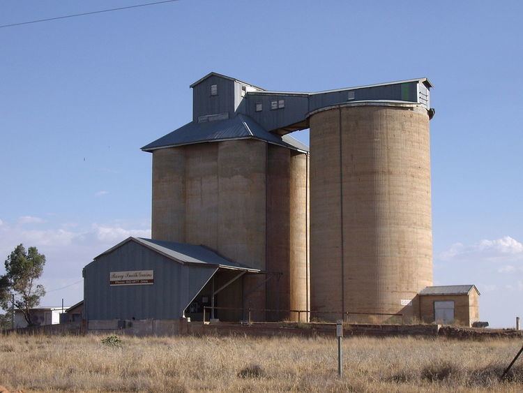
Combaning railway station
A railway station on the branch line to Lake Cargelligo served the community between 1893 and 1975.
References
Combaning, New South Wales Wikipedia(Text) CC BY-SA