OS grid reference NS651649 Sovereign state United Kingdom Postcode district G32 Dialling code 0141 | Post town GLASGOW | |
 | ||
Springboig is a district close to the east end of the Scottish city of Glasgow, situated north of the River Clyde.
Contents
Map of Springboig, Glasgow, UK
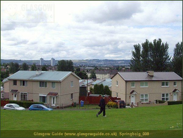
Springboig lies to the north of Shettleston, Budhill and east of Greenfield, Carntyne and Lightburn Hospital and Greenfield Park, and is just south of Edinburgh Road (A8) and Cranhill. Like many similar publicly funded 'schemes', these were built in the late 1940s on the outskirts of the city to alleviate the post-war housing shortage. The Springboig scheme was built prior to the much larger schemes Cranhill, Barlanark, Ruchazie, Easterhouse, Easthall and Wellhouse, which lie to the north and east of Springboig.
Notables
References
Springboig Wikipedia(Text) CC BY-SA
