
Country United States Area 122.2 km² Local time Thursday 5:58 AM | GNIS feature ID 0469373 Elevation 260 m Population 1,007 (2000) | |
 | ||
Weather 9°C, Wind SW at 21 km/h, 82% Humidity | ||
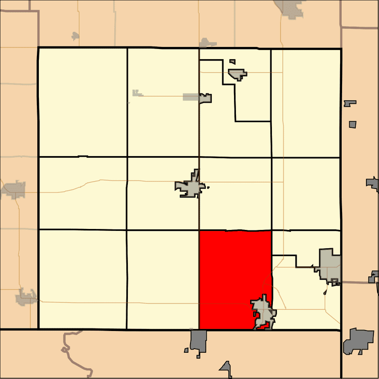
Spring Valley Township is a township in Cherokee County, Kansas, USA. As of the 2000 census, its population was 1,007.
Contents
Map of Spring Valley, KS, USA
Geography
Spring Valley Township covers an area of 47.2 square miles (122 km2) and contains one incorporated settlement, Baxter Springs. According to the USGS, it contains seven cemeteries: Baxter Springs, Beasley, Brush Creek, Crum, Dockery, Pleasant View and Usrey.
The streams of Bitter Creek, Brush Creek and Willow Creek run through this township.
Transportation
Spring Valley Township contains one airport or landing strip, Walter A Swalley Airpark.
References
Spring Valley Township, Cherokee County, Kansas Wikipedia(Text) CC BY-SA