
Time zone CST (UTC-6) Area 144.9 km² Population 1,294 (2010) | Established November 6, 1860 Elevation 192 m Local time Thursday 5:41 AM | |
 | ||
ZIP codes 62436, 62445, 62447, 62462, 62467, 62468 Weather 13°C, Wind E at 16 km/h, 93% Humidity | ||
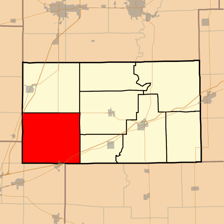
Spring Point Township is one of eight townships in Cumberland County, Illinois, USA. As of the 2010 census, its population was 1,294 and it contained 461 housing units.
Contents
- Map of Spring Point Township IL USA
- Geography
- Cities towns villages
- Unincorporated towns
- Cemeteries
- Major highways
- School districts
- Political districts
- References
Map of Spring Point Township, IL, USA
Geography
According to the 2010 census, the township has a total area of 55.96 square miles (144.9 km2), all land.
Cities, towns, villages
Unincorporated towns
Cemeteries
The township contains these nine cemeteries: Brush Creek, Elliott, Faunce, Illinois Central Pioneer, Kingery, Lillyville, Mullen, Needham and Saint Rose.
Major highways
School districts
Political districts
References
Spring Point Township, Cumberland County, Illinois Wikipedia(Text) CC BY-SA