
City City of Charlottetown | Provinces of Canada Prince Edward Island Incorporated Village 1956 Area code 902 | |
 | ||
Spring Park is a Canadian neighbourhood in the city of Charlottetown, Prince Edward Island.
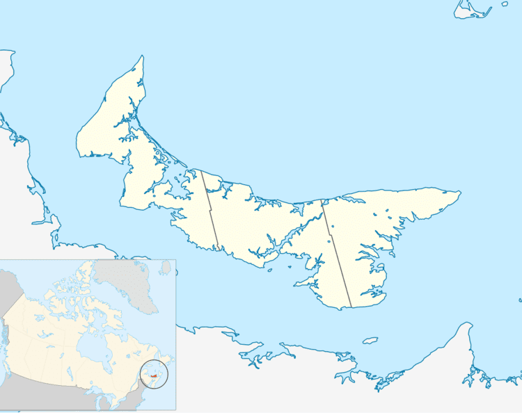
Map of Spring Park, Charlottetown, PE, Canada
Spring Park derived its name in 1925 from the Spring Park School District whose southern boundary at that time was located along the northern boundary of the city of Charlottetown and west of the villages of Parkdale and Sherwood. The community was defined by Spring Park Road which ran north from the city to serve what was then a rural farming district consisting of 12 acres (4.9 ha) estates in the unincorporated township of Queens Royalty.
Population growth and development pressures in Charlottetown following World War II saw parts of Spring Park south of Kirkwood Drive successively merged into the city. In the 1950s a new Spring Park School was constructed on Kirkwood Drive; this building is now used by the Charlottetown Police Department. The school district was incorporated as a village in 1956 and roughly delineated by Queen Street, Pond Street, Colonel Gray Drive and the southern boundary with West Royalty along the north (Hermitage Creek).
The village was dissolved in April 1958 in a municipal amalgamation with the city of Charlottetown. Development pressures on the Spring Park School district by a flood of young families to new subdivisions in the early 1960s saw this school replaced in 1964 by a building located on Dunkirk Street.
The neighbourhood is Charlottetown's first post-war suburb and consists of smaller bungalows interspersed with some larger homes and is defined by mature trees lining quiet streets. This is likely the most accessible Charlottetown neighbourhood to services within walking distance with several popular churches, shopping services, restaurants, schools and employment locations being located within and adjacent to the area. The neighbourhood expanded significantly during the late 1960s with the construction of Colonel Gray High School on the Simmons Estate fronting Spring Park Road. Residential subdivisions such as Holland Park and Skyview were developed in the late 1960s and 1970s, followed by Westwood and Maryfield in the 1980s and 1990s.