
Area 231 ha Population 572 (2002) | Elevation 307 m Local time Thursday 3:32 AM | |
 | ||
Weather 7°C, Wind SW at 2 km/h, 76% Humidity Municipality City Municipality of Ljubljana | ||
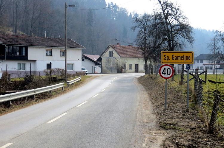
Spodnje Gameljne ([ˈspoːdnjɛ ˈɡaːməlnɛ]; German: Untergamling) is a village on the right bank of the Sava River north of the capital Ljubljana in central Slovenia. It belongs to the City Municipality of Ljubljana. It was part of the traditional region of Upper Carniola and is now included with the rest of the municipality in the Central Slovenia Statistical Region.
Contents
Map of 1211 Spodnje Gameljne, Slovenia
Geography
Spodnje Gameljne is a clustered village along the road from Šmartno to Črnuče and along Gameljščica Creek, which empties into the Sava River southeast of the village. The soil is sandy and there are fields to the southwest, toward the Sava. There is a fish hatchery below the village on the Sava.
Name
The name Spodnje Gameljne means 'lower Gameljne', distinguishing the settlement from Zgornje Gameljne 'upper Gameljne' and Srednje Gameljne 'middle Gameljne'. The settlement was attested in written sources in 1260 as Gemlein (and as Gemleyn in 1295, Gaͤmelein in 1338). The name developed via dialect pronunciation from the older form *Gamljine—also a plural, probably reflecting the fact that there have been three such settlements since at least the mid-15th century. The name is probably based on a form such as *Gamľa (vьsь) 'Gamъ's (village)', referring to some early inhabitant of the place.
Church
The local church is dedicated to Saint Leonard and belongs to the Parish of Šmartno pod Šmarno Goro. It was a 17th-century building that was rebuilt in 1877, although it retains some of its original elements.