
Population 250 est (2015) Local time Wednesday 9:03 PM | OS grid reference NH664901 Sovereign state United Kingdom Postcode district IV24 3 Council area Highland | |
 | ||
Weather 7°C, Wind E at 10 km/h, 93% Humidity | ||
The spinningdale rescue
Spinningdale (Scottish Gaelic: Spainnigeadal), possibly from the Norse "'Spinne-Dalr'" for 'round valley', is a hamlet on the north shore of Dornoch Firth in eastern Sutherland, Scottish Highlands and 5 miles north-east from Bonar Bridge and is in the Scottish council area of Highland.
Contents
- The spinningdale rescue
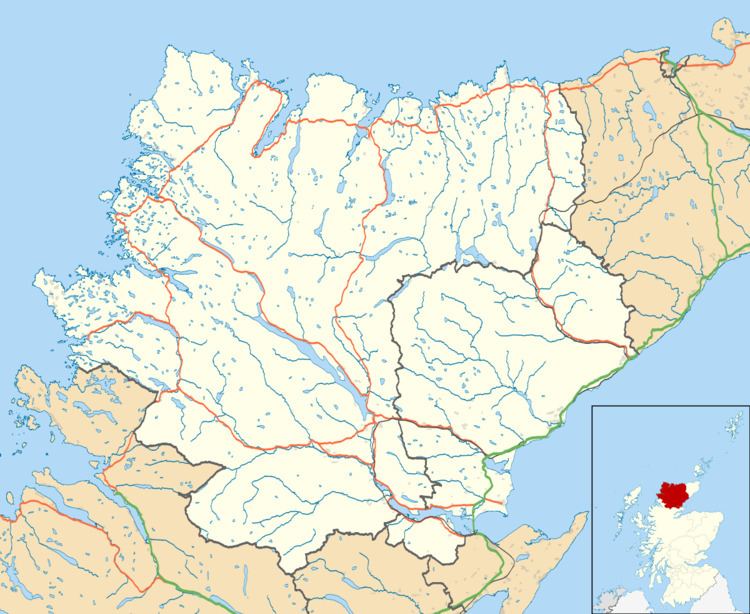
- Map of Spinningdale Ardgay UK
- Spinningdale house part i youtube version
- Notable people past present
- References
Map of Spinningdale, Ardgay, UK
The A949 road, the old A9, before the 1991 opening of the Dornoch Bridge, passes through Spinningdale.
Spinningdale house part i youtube version
Notable people – past & present
References
Spinningdale Wikipedia(Text) CC BY-SA