
Location Bay of Bengal Adjacent bodies of water Indian Ocean Major islands Spike Elevation 136 m Area code 031927 Adjacent body of water Indian Ocean | Archipelago Andaman Islands Total islands 1 Length 7.3 km (4.54 mi) Postal code 744202 Island group Andaman Islands | |
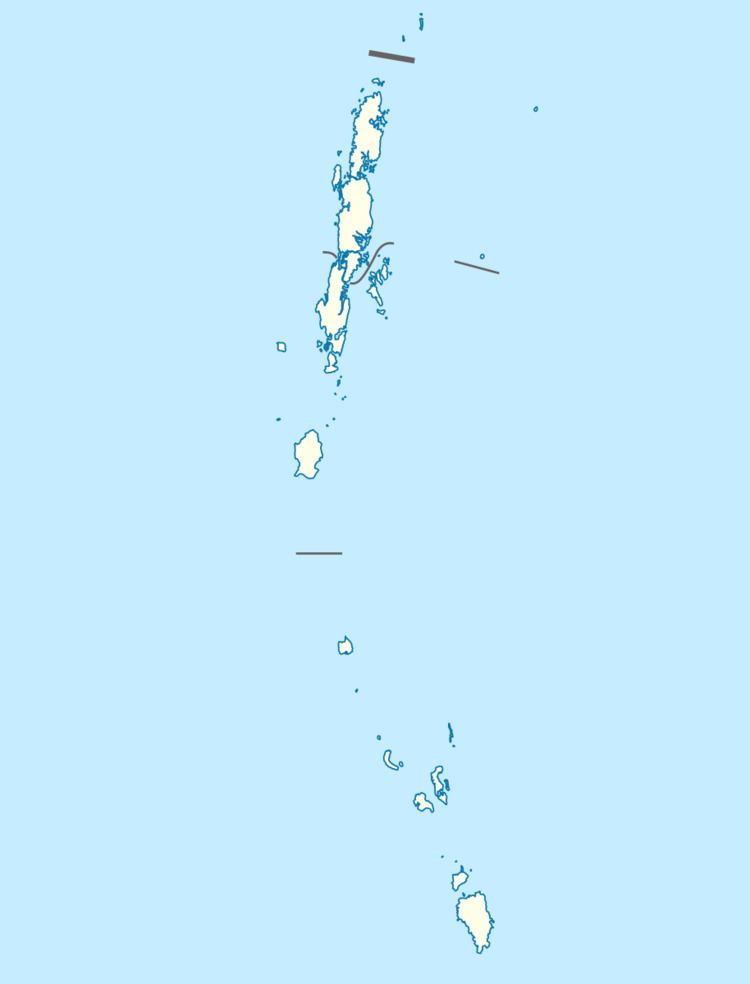 | ||
Spike Island is an island of the Andaman Islands. It belongs to the North and Middle Andaman administrative district, part of the Indian union territory of Andaman and Nicobar Islands. the island is lying 63 km (39 mi) north from Port Blair.
Contents
- Map of Spike Island Andaman and Nicobar Islands 744210
- Geography
- Administration
- Transportation
- Demographics
- References
Map of Spike Island, Andaman and Nicobar Islands 744210
Geography
The island belongs to the West Baratang Group and lies north of Bluff Island.
Administration
Politically, Spike Island, along neighboring Baratang Islands, is part of Rangat Taluk.
Transportation
you can travel by Dinghy through Port Anson from Mayabuner, on demand.
Demographics
The island was previously inhabited.
References
Spike Island (Andaman and Nicobar Islands) Wikipedia(Text) CC BY-SA