
Population 275 (2005 est.) Post town SAWBRIDGEWORTH Local time Wednesday 12:31 PM | Region East Sovereign state United Kingdom Postcode district CM21 Dialling code 01279 | |
 | ||
Weather 14°C, Wind SW at 24 km/h, 78% Humidity | ||
Spellbrook is a hamlet in Hertfordshire, situated between Bishop's Stortford and Sawbridgeworth. At the 2011 Census the population of the hamlet was included in the civil parish of High Wych.
Contents
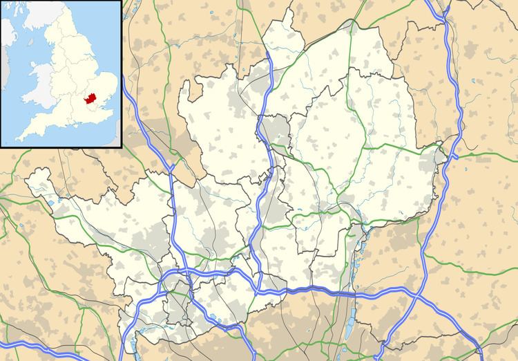
Map of Spellbrook, Bishop's Stortford, UK
Location
Spellbrook is one mile south of Bishop's Stortford, thirteen miles east of Hertford and ten miles north of Epping. It lies on the A1184 The river Stort flows through the east of the town, past the Three Horseshoes public house. It has a school, Spellbrook Primary There is currently a campaign to persuade British Telecom to provide an adequate broadband service to the area.
Nearby towns and cities: Bishop's Stortford, Sawbridgeworth
Nearby villages: Trimms Green, Allen's Green, Little Hallingbury
Politics and local government
Spellbrook is administered by East Herts district council.
The local Town Council for Sawbridgeworth has 12 councillors, who also cover Spellbrook.