
Population 8,940 (2006 census) | Postcode(s) 6163 Postal code 6163 | |
 | ||
Location 18 km (11 mi) S of Perth City | ||
Spearwood is a southern suburb of Perth, Western Australia, located within the City of Cockburn. This suburb derives its name from the Spearwood bush which is as a common shrub in the area.
Contents
- Map of Spearwood WA 6163 Australia
- History
- Geography
- Commercial
- Cultural
- Educational
- Recreational
- References
Map of Spearwood WA 6163, Australia
History
Settlement appears to have begun in Spearwood in the 1850s when Alfred Hooker took up Cockburn Sound Location 97, although several adjoining blocks were taken up during the same period by Charles Manning. When the area was subdivided by real estate entrepreneur James Morrison in 1897 he used the name Spearwood Gardens Estate, the first time the name was used. The Spearwood area soon became one of Perth's major market gardening areas.
Geography
It is bounded by Phoenix Road to the north, Stock Road to the east, Barrington Street and Troode Street to the south and Hamilton Road to the west.
Phoenix Road was named by John Healy after Phoenix Park Dublin, where the British Chief Secretary for Ireland was assassinated by Fenians in 1882, although an alternative suggestion is that it was named by Steve Dobra, the first settler on Phoenix Road, who worked in Phoenix, Arizona before coming to Western Australia in 1912. Barrington Street is named after Barrington C. Wood, the first Mayor of Fremantle (1883–1885). Troode Street is named after Edward Thomas Troode, the original owner of the Woodlands Estate from 1860. The suburb is approximately 85% shrubland.
Commercial
The main shopping area is Phoenix Shopping Centre, a thriving commercial centre located along Rockingham Road, with a smaller centre, Stargate Spearwood located further south, also on Rockingham Road.
Cultural
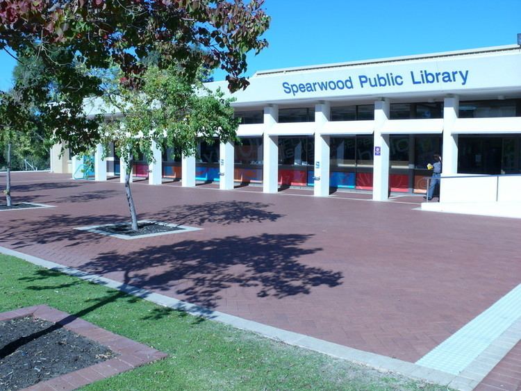
The City of Cockburn's main administrative offices and library are located on Coleville Crescent immediately to the south of the Phoenix Shopping Centre. The Spearwood Library and Cockburn Seniors Centre are both located next to the council buildings.
Educational
There are three primary schools located within the suburb: Spearwood Primary School, Newton Primary School and Spearwood Alternative School.
Recreational
Dalmatinac Park is home to the Spearwood Dalmatinac Amateur Soccer Club and the Dalmatinac Netball Club.
Watsons Oval is home to the Southern Spirit Soccer Club.
Beale Park is home to Cockburn City Soccer Club which plays in the Premier league of the State's Football (Soccer) Association and also the Cockburn City Teeball and Baseball Club.
Manning Park is a picturesque park located around Manning Lake. There are a number of walking trails around the park. It is home to the Spearwood Walking Racers Association, where walkers can be seen around the park on weekends holding time trials.
Spearwood is also home to many Croatian sporting clubs, Croatian community centres. There is a significant Croatian cultural history in the Spearwood area.