
Country Canada Incorporated 1892 Area 255.8 km² | Time zone PST (UTC-8) Population 5,055 (2011) | |
 | ||
Website www.spallumcheentwp.bc.ca | ||
Township of spallumcheen centennial 1992
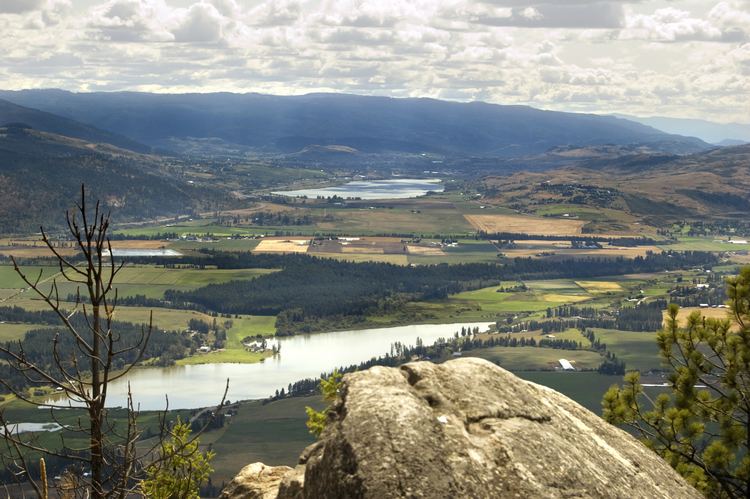
Spallumcheen is a district municipality in the Canadian province of British Columbia. Located in the Okanagan region between Vernon and Enderby, the township had a population of 5,055 and land area of 255.77 square kilometres (98.75 sq mi) in the Canada 2011 Census. The district, whose official name is the Township of Spallumcheen and which is the oldest rural municipality in the British Columbia Interior (incorporated in 1892), consists primarily of agricultural land surrounding the separately incorporated City of Armstrong. Both Spallumcheen and Armstrong are member municipalities of the Regional District of North Okanagan.
Contents
- Township of spallumcheen centennial 1992
- Map of Spallumcheen BC Canada
- Spallumcheen 120 kick off part 1
- Etymology
- References
Map of Spallumcheen, BC, Canada
Spallumcheen 120 kick off part 1
Etymology
The name is derived from a Shuswap language word, either "spil-a-mi-shine" meaning "flat mouth", or "spal-lum-shin" meaning "meadow flat". Another word, spalmtsin, which has an Okanagan language cognate spelemtsin, means "flat area along edge". Other variations include Spellmacheen and Spallamcheen, which were the original names used for the Shuswap River, which exits the Shuswap Highland in this area and heads north to Mara and Shuswap Lakes. The same word is the source of the mame of the Spillimacheen River and the settlement of the same name in the Columbia Valley.