
Admin. region Freiburg Elevation 660 m (2,170 ft) Area 18.5 km² Local time Wednesday 12:08 AM Dialling code 07424 | Time zone CET/CEST (UTC+1/+2) Population 12,411 (31 Dec 2008) Postal code 78549 Administrative region Freiburg | |
 | ||
Weather 9°C, Wind W at 8 km/h, 68% Humidity | ||
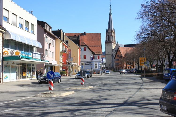
Spaichingen is a town in the district of Tuttlingen in Baden-Württemberg, Germany. It is situated 11 kilometers northwest of Tuttlingen, and 13 km southeast of Rottweil. It is 660 meters above sea level.
Contents
Map of 78549 Spaichingen, Germany
Population: 12,400 (2006)
History
Spaichingen is mentioned for the first time in 791 in a deed of donation of the monastery of St. Gallen (Switzerland). Spaichingen was part of the shire of Hohenberg, with its castle Hohenberg, near Wehingen. The shire was sold in 1381 to Austria. In 1806, Spaichingen came under the control of the kingdom of Wuerttemberg and was county seat of the "Oberamt Spaichingen" until 1938. Since then, it has been a part of the county of Tuttlingen.
Mayors
Sons and daughters of the town
References
Spaichingen Wikipedia(Text) CC BY-SA