
 | ||
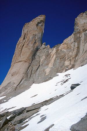
Spøta Spur (72°3′S 4°3′E) is a spur extending from the north-central part of Mount Hochlin, in the Muhlig-Hofmann Mountains, Queen Maud Land. Mapped by Norwegian cartographers from surveys and air photos by the Norwegian Antarctic Expedition (1956–60) and named Spøta (the knitting needle).
This article incorporates public domain material from the United States Geological Survey document "Spøta Spur" (content from the Geographic Names Information System).
References
Spøta Spur Wikipedia(Text) CC BY-SA