
- summer (DST) EDT (UTC-4) Year built 1703 Added to NRHP 19 May 1972 | Area 2.914 km² Area code 215 | |
 | ||
Restaurants Restaurant Ambra, Hungry Pigeon, Kanella South, Bistro Romano, Royal Sushi & Izakaya | ||
Southwark was originally the Southwark District, a colonial era municipality in Philadelphia County, Pennsylvania. Today, it is a neighborhood in the South Philadelphia section of Philadelphia, Pennsylvania. Because of its location south of the early Philadelphia, the name was adopted in allusion to the borough of Southwark in the county of London, England, just south of the city of London.
Contents
Map of Southwark, Philadelphia, PA 19147, USA
History
Southwark is one of the oldest English settlements in the County of Philadelphia. It is actually the oldest district founded by settlers in Philadelphia, as a result of its inclusion in the former Swedish colony of New Sweden. Southwark was originally a tract of ground on the fast land of the Neck, lying between Passyunk and Wicaco. Due to the populations of the Swedish settlements of Wicaco and Moyamensing, Southwark grew earlier than other parts of the county apart from the city of Philadelphia.
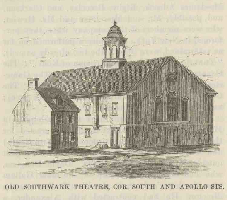
The General Assembly created the district of Southwark on May 14, 1762, to facilitate cooperation with regards to street-building. In 1854, when it was incorporated into the city of Philadelphia by the Act of Consolidation, the borough comprised the area bounded on the north by South Street, on the west by Passyunk Avenue from 5th and South to 10th and Reed; the boundary then ran along Reed Street, down 7th, and along Mifflin Street to the river. Today, there are only a few traces of the name "Southwark" in this part of Philadelphia. . These include Southwark restaurant at 4th and Bainbridge, Southwark Paints further south on 4th, Southwark Development Corp., a public-housing project along Washington Avenue from 3rd to 5th, and even "Southwark" painted on a wall as far away as 23rd and Washington. (Southwark Paints no longer exists.)
In the late 1970s, this area of Philadelphia was renamed, and the Northern portion is now commonly known as Queen Village. The neighborhood of Pennsport is the primary southern half of what was Southwark. The area is a diverse community, a multi-racial neighborhood of middle class, working class, and professionals. However, recently, parts of Southwark has been noted as a poor and depressed neighborhoods. The intersection of Fifth Street and Carpenter Street was listed number nine in a 2007 list of the city's top ten recreational drug corners according to an article by Philadelphia Weekly reporter Steve Volk.
The historic district, as defined by the National Register of Historic Places, is bounded by 5th Street on the west, Lombard Street on the north, Washington Avenue on the south, and Front, Catherine, and Queen Streets and Columbus Boulevard (formerly Delaware Avenue) on the east.
Education
Residents are within the School District of Philadelphia.
Residents are zoned to Southwark School (K-8) and South Philadelphia High School.
The Vare-Washington School, which occupies the former George Washington School, is in proximity to Southwark. Persons zoned to Vare-Washington are also zoned to Furness High School. and residents of the former Abigail Vare School zone, are also zoned to Furness High School.