
Quadrant SE Established 1950 Local time Tuesday 8:22 AM Population 2,098 (2006) | Ward 10 Elevation 1,060 m | |
 | ||
Website Southview Community Association Weather -1°C, Wind SW at 10 km/h, 74% Humidity | ||
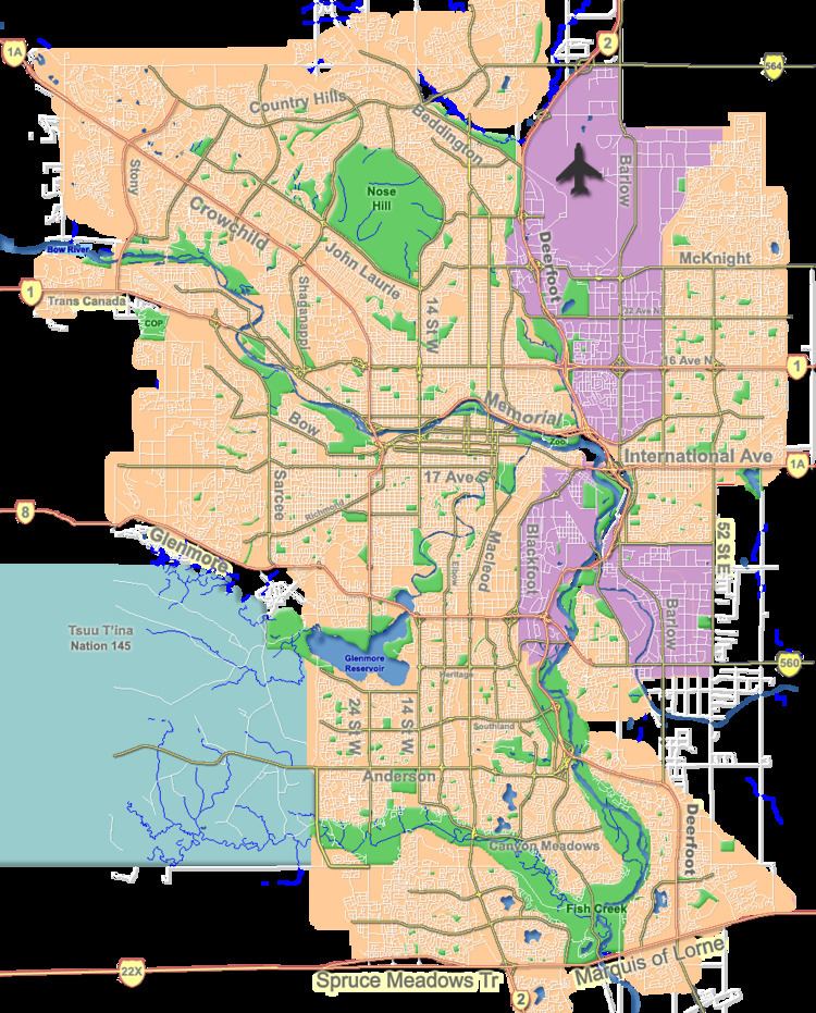
Southview is a residential neighbourhood in the south-east quadrant of Calgary, Alberta. It is bounded by 17 Avenue SE to the north, 36 Street SE to the east, 26 Avenue SE to the south and the Bow River to the west.
Contents
Map of Southview, Calgary, AB, Canada
Southview was established in 1950, being the last community to develop inside the Greater Forest Lawn Area and is part of the International Avenue Business Revitalization Zone. It is represented in the Calgary City Council by the Ward 10 councillor.
Demographics
In the City of Calgary's 2012 municipal census, Southview had a population of 7003190000000000000♠1,900 living in 7002936000000000000♠936 dwellings, a -7.9% increase from its 2011 population of 7003206300000000000♠2,063. With a land area of 1.6 km2 (0.62 sq mi), it had a population density of 1,190/km2 (3,080/sq mi) in 2012.
Residents in this community had a median household income of $44,908 in 2000, and there were 23.7% low income residents living in the neighbourhood. As of 2000, 14.9% of the residents were immigrants. A proportion of 18.5% of the buildings were condominiums or apartments, and 33.9% of the housing was used for renting.
Education
The community is served by the Mountain View Elementary public school.