
 | ||
Trinidad roads southern main road mosquito creek
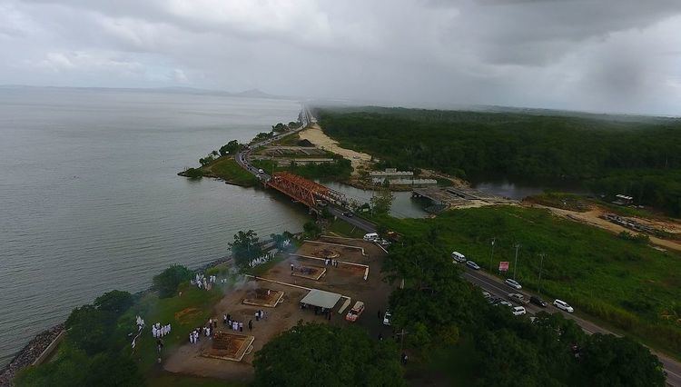
The Southern Main Road is a major road in Trinidad and Tobago running from Curepe in the north through Chaguanas, Couva, San Fernando and Point Fortin to Icacos in the southwest.
Contents
- Trinidad roads southern main road mosquito creek
- Map of Southern Main Rd Trinidad and Tobago
- Southern main road project
- References
Map of Southern Main Rd, Trinidad and Tobago
The Southern Main Road was the major north–south road in Trinidad until 1957 when the Princess Margaret Highway (now the Uriah Butler Highway) was built to more directly connect Chaguanas with the Churchill-Roosevelt Highway, and in the 1970s when the Sir Solomon Hochoy Highway was built to connect Chaguanas with San Fernando. The Southern Main Road remains the major road connecting San Fernando with Point Fortin, but plans are underway to extend the Sir Solomon Hochoy Highway to Point Fortin.
The Southern Main Road makes its way through communities such as Chaguanas, Freeport, St. Mary's, McBean, Couva, Pt. Lisas, California, Claxton Bay, Marabella, and Vistabella in Central Trinidad, before passing into San Fernando. In the areas just listed, the Southern Main Road (sometimes simply referred to by the locals as "de main road") contains most of the business establishments.