
 | ||
The best of southeast mexico by int grate
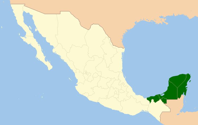
The Southeast Mexico (Spanish: Sureste de México) is a region of United Mexican States, formed by the states of Yucatán, Campeche, Quintana Roo and Tabasco. The area is almost flat, except for the presence of the hills and mountains that form the Sierra Atravesada. The mountains are about 250 km in length, and its highest point is in the passage of Chivela, about 2500 of elevation. Further east, near the boundary between Oaxaca and Chiapas, is the Cerro Azul, reaching an elevation of 2300.
Contents
Into the wilds of southeast mexico
Description
South-southeast México is the fastest growing region in formal employment registered in the Instituto Mexicano del Seguro Social (English: Mexican Institute of Social Security). This region is stronger in giving added value to natural resources in a sustainable way, also gaining national and international markets and diversifying the economy. The border with Guatemala is formed by the Suchiate River, the Usumacinta River and three artificial lines and the length of this border is 871 km. With Belize, the border is 251 km and is marked in whole by Hondo River. The territorial waters of Mexico consists of two regions: the territorial sea is measured from the shoreline to 25 km offshore, and the exclusive economic zone, which reaches 200 nautical miles (370 km) from the coast.