
Postcode(s) Map of postcodes | Time zone NZST (UTC+12) Area 1,817 km² | |
 | ||
District South Waikato District Council | ||
The South Waikato District is a municipality in the Waikato region of the North Island of New Zealand. It is located between the cities of Hamilton to the north, Rotorua to the east, Taupo to the south and Ruapehu District to the west.
Contents
Map of South Waikato District, Waikato, New Zealand
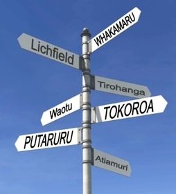
The seat of the South Waikato District Council is at Tokoroa, the biggest town. The other main towns are Putaruru, Tirau and Arapuni.
Population
The district's population at the June 2016 was 23,800, of whom 58% lived in Tokoroa. Putaruru's population was 3,777, and Tirau's was 690. The region's population decreased markedly during the 1990s, dropping over 4000 since the 1991 census.
Ngāti Raukawa is the Maori tribe of the area and goes back 20–25 generations. There are 32 marae in the district, Papa te Aroha marae (Catholic Community) Aotearoa marae, Pikitu marae (Nga-Huri), Pōhara marae (Ngati Koroki), Whakaaratamaiti marae (Ngati Mahana), Mangakaretu marae (Ngati Ahuru) Ngatira marae (Ngati Ahuru) and Tarukenga marae (Ngati Te-Ngakau).Mokai marae (Ngati Te Kohera) Ongaroto marae (Ngati Whaita) Paparamu marae (Ngati Te Apunga) Te Ruapeka marae (Ngati Tukorehe) more.....
Economy
The district's main industries are forestry and timber production, however land previously in plantation forest is increasingly being converted to dairy production. Several hydroelectric projects are located at the district's western edge.