
Quadrant NW Sector Southwest Area 174 ha | Ward 9 Elevation 686 m Population 7,532 (2012) | |
 | ||
South Terwillegar is a neighbourhood in southwest Edmonton, Alberta, Canada that was established in 2003 through the adoption of the South Terwillegar Neighbourhood Area Structure Plan (NASP).
Contents
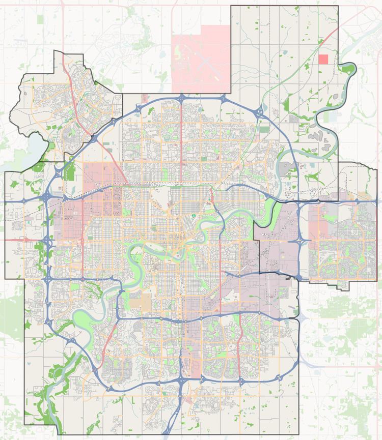
Map of Terwillegar South, Edmonton, AB, Canada
South Terwillegar is located within the Terwillegar Heights area and was initially planned under the Terwillegar Heights Servicing Concept Design Brief (SCDB).
It is bounded on the west by Terwillegar Drive, north by the Terwillegar Towne neighbourhood, east and southeast by Rabbit Hill Road and south and southwest by Anthony Henday Drive.
Demographics
In the City of Edmonton's 2012 municipal census, South Terwillegar had a population of 7003753200000000000♠7,532 living in 7003352200000000000♠3,522 dwellings, a 47.7% change from its 2009 population of 7003509800000000000♠5,098. With a land area of 1.74 km2 (0.67 sq mi), it had a population density of 7003432870000000000♠4,328.7 people/km2 in 2012.