
Elevation 1,526 m | Mountain range Chugach Mountains | |
 | ||
Easiest route Most often climbed via Hauser's Gully Similar North Suicide Peak, Ptarmigan Peak, Polar Bear Peak, Eagle Peak, Mount POW/MIA | ||
Alaska life south suicide peak vlog 5
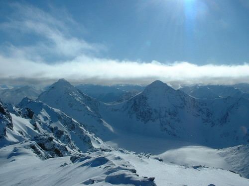
South Suicide Peak is a 5,005-foot (1,526 m) mountain in the U.S. state of Alaska, located in Chugach State Park. The peak is notable for its graceful pyramidal shape and symmetry with nearby North Suicide Peak, and as the tallest mountain rising from the North side of Cook Inlet's Turnagain Arm.
Contents
- Alaska life south suicide peak vlog 5
- Map of South Suicide Peak Anchorage AK 99516 USA
- South suicide peak
- Location
- Outdoor Recreation and Climbing Routes
- References
Map of South Suicide Peak, Anchorage, AK 99516, USA
South suicide peak
Location
South Suicide Peak is located on the southern edge of Chugach State Park, in Alaska, and is positioned between North Suicide Peak, Indianhouse Mountain, Rabbit Lake, and McHugh Peak.
Outdoor Recreation and Climbing Routes
Due to its location near Anchorage, Alaska and ease of access from multiple trailheads, South Suicide is a relatively popular climbing destination. It is considered a non-technical, but rigorous, one-day climb when free of snow.
South Suicide Peak is most often climbed via the following routes.