
Country United States Time zone CST (UTC-6) Elevation 211 m Local time Sunday 3:05 AM | Created 1851 GNIS feature ID 0429435 Area 131.3 km² Population 13,969 (2010) | |
 | ||
Weather 14°C, Wind SE at 13 km/h, 95% Humidity | ||
Newell Township is a township in Vermilion County, Illinois, USA. As of the 2010 census, its population was 13,969 and it contained 6,768 housing units.
Contents
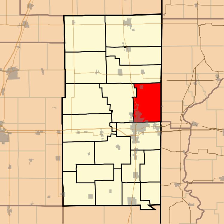
- Map of Newell Township IL USA
- History
- Geography
- Cities and towns
- Unincorporated towns
- Extinct towns
- Adjacent townships
- Cemeteries
- Major highways
- Airports and landing strips
- References
Map of Newell Township, IL, USA
History
The first sale land in this area was in 1824 to Obadiah Le Neve, who settled here just before Christmas of that year. It was not until 1851 that the county was divided up into its first eight townships, and Newell Township was one of those. It was named for Squire James Newell, the first Justice of the Peace for the area.
Geography
According to the 2010 census, the township has a total area of 50.71 square miles (131.3 km2), of which 49.98 square miles (129.4 km2) (or 98.56%) is land and 0.73 square miles (1.9 km2) (or 1.44%) is water. The township contains much of Lake Vermilion.
Cities and towns
Unincorporated towns
Extinct towns
Adjacent townships
Cemeteries
The township contains these cemeteries: Bryley, Farmers Chapel, Huffman, Lamb, Leonard, Rose, Springhill, Sunset Memorial and Walnut Corner.