Population 167 (2006 census) Postcode(s) 6368 Founded 1921 Local time Tuesday 10:01 AM | Established 1921 Elevation 296 m Postal code 6368 | |
 | ||
Location 282 km (175 mi) East of Perth16 km (10 mi) South of Narembeen34 km (21 mi) North of Kondinin Weather 18°C, Wind SW at 10 km/h, 61% Humidity | ||
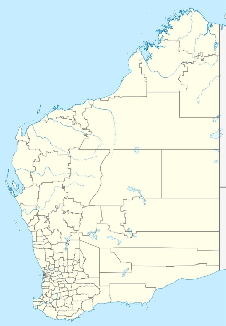
South Kumminin in a small town in the Wheatbelt region of Western Australia.
Map of South Kumminin WA 6368, Australia
The name is Indigenous Australian in origin but its meaning is unknown. The town is located along the Kondinin to Merredin railway line. When the railway line opened in 1917 a siding was opened where the townsite is located named Arrowsmith. The name was changed later that year to South Kumminin and lots were surveyed in 1918. The townsite was gazetted in 1921.
The surrounding areas produce wheat and other cereal crops. The town is a receival site for Cooperative Bulk Handling.
References
South Kumminin, Western Australia Wikipedia(Text) CC BY-SA
