
Country United States Time zone CST (UTC-6) Elevation 204 m Local time Monday 7:48 PM | Settled November 8, 1859 GNIS feature ID 0429768 Area 73.19 km² Population 1,601 (2010) | |
 | ||
Weather 12°C, Wind N at 14 km/h, 99% Humidity | ||
South Homer Township is a township in Champaign County, Illinois, USA. As of the 2010 census, its population was 1,601 and it contained 681 housing units.
Contents
- Map of South Homer Township IL USA
- Geography
- Cities and towns
- Unincorporated towns
- Cemeteries
- Major highways
- Airports and landing strips
- References
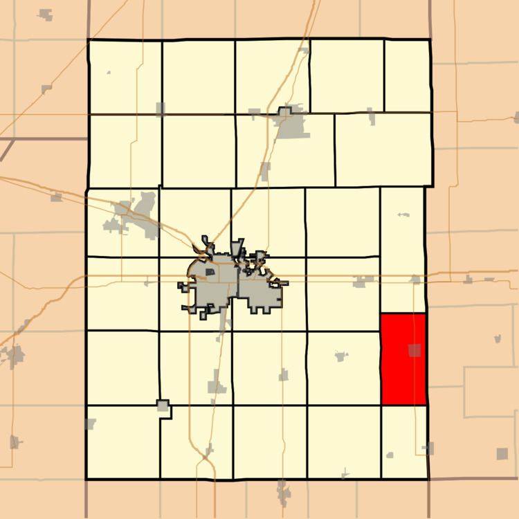
Map of South Homer Township, IL, USA
Geography
According to the 2010 census, the township has a total area of 28.26 square miles (73.2 km2), of which 27.96 square miles (72.4 km2) (or 98.94%) is land and 0.3 square miles (0.78 km2) (or 1.06%) is water. The Salt Fork of the Vermilion River winds its way through the north west section of the township. The confluence of 40°N 88°W lies in a farm field, in section 19 of the township.
Cities and towns
Unincorporated towns
(This list is based on USGS data and may include former settlements.)
Cemeteries
The township contains two cemeteries: Homer Grand Army of the Republic and Lost Grove.
Major highways
Airports and landing strips
References
South Homer Township, Champaign County, Illinois Wikipedia(Text) CC BY-SA