Kalpana Kalpana (Editor)

South Halmahera Regency

Updated on
Edit
Like
Comment
Share on FacebookTweet on TwitterShare on LinkedInShare on Reddit
Country
  
Capital
  
Area
  
8,892 kmĀ²

Population
  
198,911 (2010)

Island
  
Time zone
  
WIT (UTC+9)

Province
  
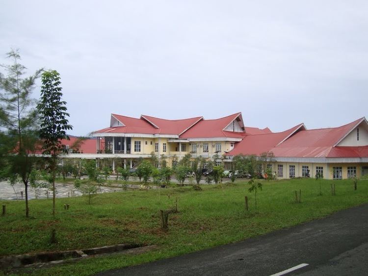
South Halmahera Regency httpslh3googleusercontentcomFUzDKKHDj4VYf

South Halmahera Regency or Halmahera Selatan is a regency of North Maluku Province, Indonesia. It lies partly on Halmahera Island and partly on smaller islands to the west and south of Halmahera. As of 2010 it had a population of 198,911 people. The capital lies at Labuha on Bacan Island.

Contents

Map of South Halmahera Regency, North Maluku, Indonesia

Islands

It is home to a number of archipelagoes and islands. Among them:

  • Obi Islands, including Obira (main), Bisa, Obilatu and other small islands, comprising in all 5 kecamatan with 41,455 people at the 2010 census.
  • Bacan Islands, including:
  • Bacan Island itself, comprising 7 kecamatan with 60,742 people
  • Mandoli, comprising 2 kecamatan with 8,788 people
  • Kasiruta, comprising 2 kecamatan with 8,368 people
  • Kayoa Group, comprising 4 kecamatan with 20,176 people
  • Makian, comprising 2 kecamatan with 12,394 people
  • Joronga Islands, comprising 1 kecamatan with 5,264 people
  • Batan Lomang Islands, comprising 1 kecamatan with 6,177 people
  • the southern peninsula of Halmahera Island (the area is known as Gane), comprising 6 kecamatan with 35,547 people.
  • Administration

    The regency is divided into thirty districts (kecamatan), tabulated below with their 2010 Census population.

    References

    South Halmahera Regency Wikipedia


    Similar Topics