
 | ||
Old powerhouse on the south fork catawba river n c
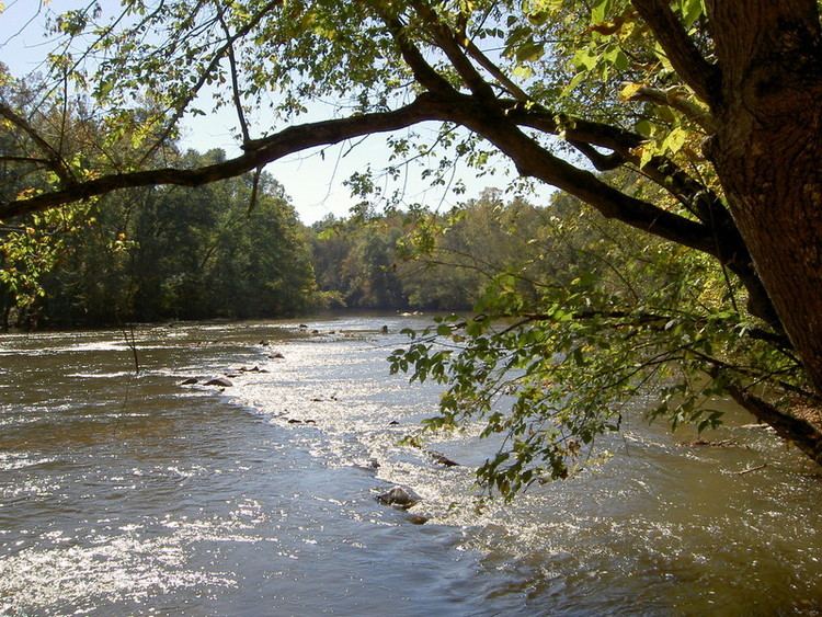
48.5 miles in length, the South Fork Catawba River (better known as the South Fork River) begins south of Hickory, North Carolina just northwest of the intersection of US highway 321 and NC Route 10, at the confluence of the Henry Fork River and Jacob Fork River. The South Fork Catawba River passes near the towns of Lincolnton, High Shoals, McAdenville and Cramerton into Lake Wylie where its now submerged confluence with the Catawba River lies near the North Carolina and South Carolina border.
Contents
- Old powerhouse on the south fork catawba river n c
- Map of South Fork Catawba River South Point NC USA
- References
Map of South Fork Catawba River, South Point, NC, USA
Signage on roadways crossing the river acknowledge it as the "South Fork River".
The river is part of the Santee River Watershed.
References
South Fork Catawba River Wikipedia(Text) CC BY-SA