
Existed: 1976 – present Length 60.14 km | Constructed 1976 | |
 | ||
Counties | ||
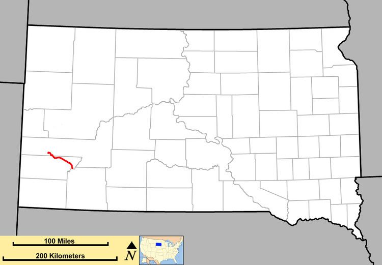
South Dakota Highway 40 (SD 40) is a state highway in southwest South Dakota. The highway is just over 37 miles (60 km) long and runs from U.S. Route 16A (US 16A) in Keystone to Bureau of Indian Affairs Highway 41 in Red Shirt. The highway runs near Mount Rushmore National Memorial in Keystone, and its eastern terminus is on the Pine Ridge Indian Reservation near the edge of Badlands National Park. SD 40 was established along its current route in 1976; the SD 40 designation was originally used on a highway that is now part of SD 44.
Contents
Map of SD-40, South Dakota, USA
Route description
SD 40 begins at an intersection with US 16A in Keystone and heads east through the town. It crosses Battle Creek numerous times, then leaves Keystone and heads in a general southeastern direction, curving regularly. The highway crosses Iron Creek just before leaving the Black Hills National Forest and crossing Battle Creek once more. It continues southeast, leaving Pennington County and entering Custer County. In Custer County, SD 40 meets SD 79, and the two highways run northward toward Hermosa. They straddle the western limit of Hermosa for a short distance before SD 79 continues north and SD 40 splits off to the east, passing through Hermosa. East of town, SD 40 curves back to the southeast and enters the Buffalo Gap National Grassland. Finally, the route curves to the south and crosses the Cheyenne River; doing this, it leaves the Buffalo Gap National Grassland and Custer County, and enters Oglala Lakota County and the Pine Ridge Indian Reservation, becoming Bureau of Indian Affairs Highway 41 (BIA Hwy. 41).
Related route
South Dakota Highway 40A was a short spur route in the east part of Badlands National Park. This route was originally part of South Dakota Highway 40. At that time, SD 40 exited the park to the northeast, and continued east with U.S. Highway 16. Around 1970, SD 40 was rerouted south from the park to a new alignment south of the White River. When this was done, SD 40A was created to link with Alternate U.S. Highway 16.
In 1976, this route was redesignated as South Dakota Highway 377.
Legal definition
The route of SD 40 is defined in South Dakota Codified Laws § 31-4-161. [1]