
Existed: 1970 – present Length 13.95 km | Counties: Moody Constructed 1970 | |
 | ||
County | ||
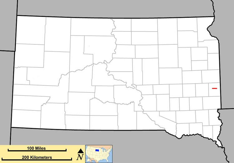
South Dakota Highway 32 (SD 32) is a short state route located in east central South Dakota. Its western terminus is at Interstate 29, and runs east to South Dakota Highway 13 in Flandreau. It is 8 2⁄3 miles (13.9 km) in length.
Contents
Map of SD-32, Flandreau, SD 57028, USA
Route description
SD 32 begins at an interchange with Interstate 29 and runs east for about eight miles before crossing the Big Sioux River and entering Flandreau. In Flandreau, SD 32 meets its eastern terminus at an intersection with SD 13.
History
This is the second usage of the South Dakota 32 identifier.
The first South Dakota 32 was designated in the late 1940s. It began at South Dakota Highway 45 near Gann Valley, and ran east to U.S. Highway 81 east of Oldham. The west end was truncated to South Dakota Highway 25 in the early 1950s, and the remainder was deleted in the late 1960s. The segment between U.S. Highway 281 and South Dakota Highway 37 became South Dakota Highway 224 in 1976.
The current South Dakota 32 was assigned around 1970, and has not undergone any changes.
Major intersections
The entire route is in Moody County.