
Local time Monday 4:12 PM | ||
 | ||
Weather 11°C, Wind NE at 3 km/h, 84% Humidity | ||
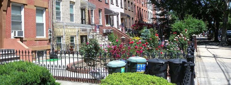
South Brooklyn is an "obsolete and imprecise" historic term for a section of the former City of Brooklyn – now the New York City borough of Brooklyn – encompassing what are now the Boerum Hill, Carroll Gardens, Cobble Hill, Gowanus, Park Slope and Red Hook neighborhoods. It was named for its location, south of the original Village of Brooklyn. It should not be confused with the geographic southern region of the modern borough of Brooklyn, which includes the neighborhoods of Gravesend, Sheepshead Bay, Gerritsen Beach, Seagate, Coney Island, Brighton Beach, and Manhattan Beach, Mill Basin and the area near Kings Plaza.
Contents
Map of South Brooklyn, Brooklyn, NY 11231, USA
"South or Southern Brooklyn" is also in use in the modern borough of Brooklyn, but without total consistency as to what it refers to. It has been used about neighborhoods as various and physically separated as Mill Basin and the area near Kings Plaza, Bensonhurst, Carroll Gardens, Gowanus, Red Hook, Smith Street, Sunset Park, Windsor Terrace, as well as Bay Ridge, Dyker Heights, and Park Slope.
Transportation
The New York City Subway's IND Culver Line (F G trains) serves the area at the Carroll Street and Smith–Ninth Streets stations. The line was originally named the "South Brooklyn Line" on some official subway maps. However, this obsolete name for the Culver Line may have referred to the South Brooklyn Railway, the original right of way of the BMT Culver Line; this right-of-way originally ran between Sunset Park and Coney Island.
The B57, B61 bus routes serve South Brooklyn as well.