
Population 115 (2011) Civil parish South Acre Area 7.91 km² | OS grid reference TF 809 143 Sovereign state United Kingdom Local time Monday 4:41 PM | |
 | ||
Weather 12°C, Wind E at 13 km/h, 70% Humidity | ||
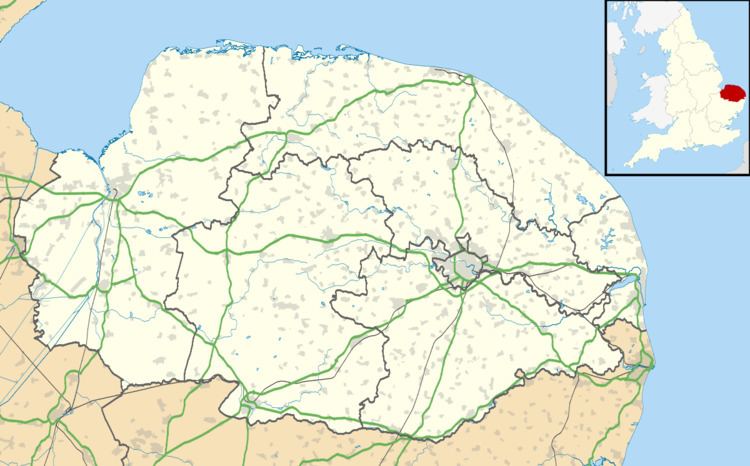
South Acre is a village and civil parish in the English county of Norfolk. The village has almost disappeared, but the remnants are located about 1 km (0.62 mi) south-west of Castle Acre, 8 km (5.0 mi) north of the town of Swaffham, 20 km (12 mi) east of the town of King's Lynn and 50 km (31 mi) west of the city of Norwich. The River Nar flows between South Acre and Castle Acre.
Map of South Acre, UK
The civil parish has an area of 10.15 km2 (3.92 sq mi) and in the 2001 census had a population of 32 in 13 households, at the 2011 Census Narford was included and the population increased to 115 in 47 households. For the purposes of local government, the parish falls within the district of Breckland.
References
South Acre Wikipedia(Text) CC BY-SA