
Highest elevation 531 m (1,742 ft) Area 265.1 km² Population 19,245 (2011) | Subregion Baixo Mondego Parishes 10 Lowest elevation 6 m (20 ft) Local time Monday 4:17 PM | |
 | ||
Weather 16°C, Wind SW at 6 km/h, 81% Humidity | ||
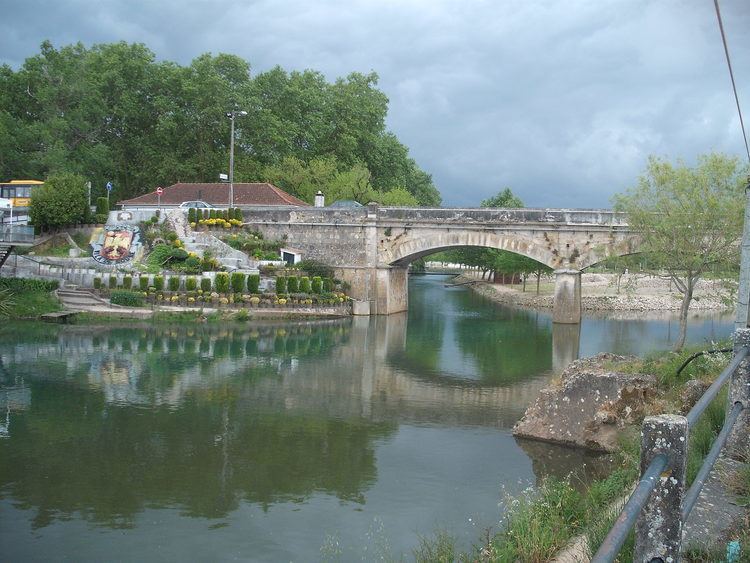
Soure ([ˈsowɾ(ɨ)]) is a town and municipality of the Coimbra District, in Portugal. The population in 2011 was 19,245, in an area of 265.06 km². It has a castle.
Contents
Map of Soure, Portugal
Parishes
Administratively, the municipality is divided into 10 civil parishes (freguesias):
References
Soure, Portugal Wikipedia(Text) CC BY-SA