
State Pará Postal Code 68870-000 Area 3,513 km² Local time Monday 12:17 PM | Time zone BST (UTC-3) Elevation 10 m Population 22,244 (2008) | |
 | ||
Weather 28°C, Wind E at 11 km/h, 81% Humidity Points of interest Praia de Barra Velha, Vila do Pesqueiro, Praia da Maloca | ||
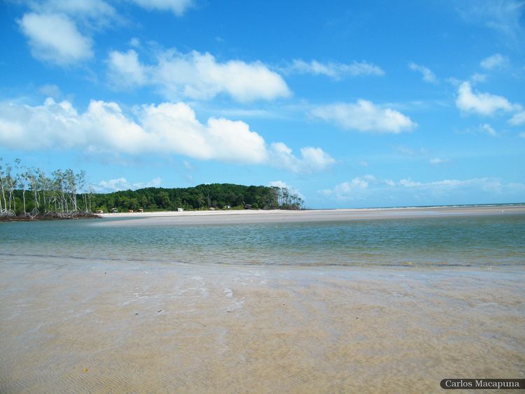
Soure is a Brazilian municipality located in the northern state of Pará, on the island of Marajó, which is located in the Amazon River at its mouth. Its population as of 2008 is estimated to be 22,244 people. The area of the municipality is 3,512.863 km². The city belongs to the mesoregion Marajó and to the microregion of Arari.
Map of Soure - State of Par%C3%A1, Brazil
The municipality is contained in the 59,985 square kilometres (23,160 sq mi) Marajó Archipelago Environmental Protection Area, a sustainable use conservation unit established in 1989 to protect the environment of the delta region. It contains the 27,464 hectares (67,870 acres) Soure Marine Extractive Reserve, a sustainable use conservation area created in 2001 that protects the coastal mangroves to the north of the municipal seat and along the north part of the Paracauari River.