
- land 5.5 km (2.1 sq mi) Area 5.6 km² | - summer (DST) CDT (UTC-5) Area code 985 | |
 | ||
- water 0.2 km (0.1 sq mi), 3.57% Parish | ||
Bayou sorrel louisiana monster sessions 2010
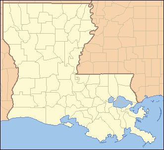
Sorrel is a census-designated place (CDP) in St. Mary Parish, Louisiana, United States. The population was 766 at the 2010 census. It is part of the Morgan City Micropolitan Statistical Area.
Contents
Geography
Sorrel is located at 29°53′30″N 91°37′7″W (29.89174, -91.61885), 3 miles (5 km) east of Jeanerette and 6 miles (10 km) northwest of Baldwin. It is situated at the junction of Louisiana Highway 182 and Louisiana Highway 318. According to the United States Census Bureau, the CDP has a total area of 2.2 square miles (5.6 km2), of which 2.1 square miles (5.5 km2) is land and 0.08 square miles (0.2 km2), or 2.76%, is water.
References
Sorrel, Louisiana Wikipedia(Text) CC BY-SA