
Elevation 2,050 m | ||
 | ||
Similar Wadakapiapué‑tepui, Uei‑tepui, Karaurín‑tepui, Wei‑Assipu‑tepui | ||
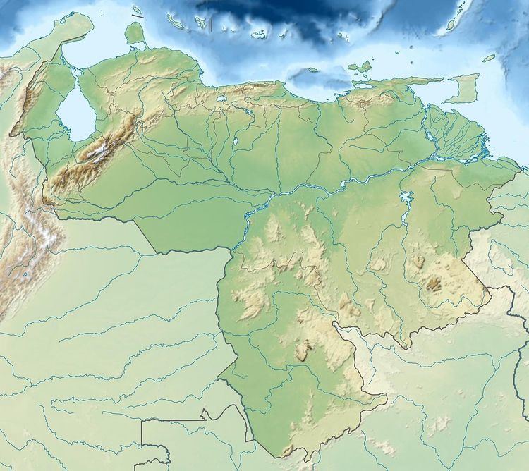
Sororopán-tepui is a 10-kilometre (6.2 mi) long ridge in Bolívar state, Venezuela. It has a maximum elevation of around 2,050 m (6,730 ft) and its densely forested slopes cover an estimated area of 30 km2 (12 sq mi). The ridge has a southwest–northeast orientation and is characterised by a steep southern face. Part of the Ptari Massif, it lies just south of Carrao-tepui and neighbouring Ptari-tepui.
Map of Sororop%C3%A1n-tepui, Bol%C3%ADvar, Venezuela
References
Sororopán-tepui Wikipedia(Text) CC BY-SA