
Elevation 299 m (981 ft) Area 133 km² | Time zone GMT (UTC+0) Population 4,884 (2009) | |
 | ||
Weather 31°C, Wind NE at 18 km/h, 11% Humidity | ||
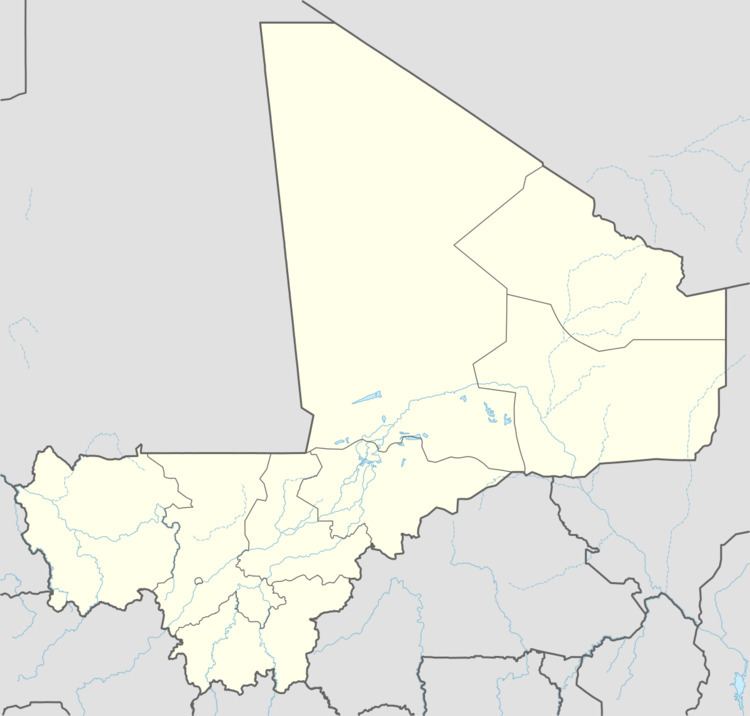
Sorobasso is a village and commune in the Cercle of Koutiala in the Sikasso Region of southern Mali. The commune covers an area of 133 square kilometers and includes 5 villages. In the 2009 census it had a population of 4,884. The village of Sorobasso, the administrative centre (chef-lieu) of the commune, is 30 km northeast of Koutiala on the Route Nationale 13 that links Koutiala with San.
References
Sorobasso Wikipedia(Text) CC BY-SA