
River mouth Meuse140 m (460 ft) Basin size 411 km (159 sq mi) Basin area 411 km² | Length 56 km | |
 | ||
Main source Taillette350 m (1,150 ft) Discharge Average rate:6.36 m/s (225 cu ft/s) | ||
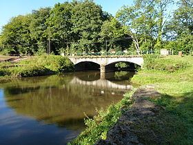
The Sormonne (French: la Sormonne) is a 56.5 km (35.1 mi) long river in the Ardennes département, northeastern France. Its source is at Taillette, near Rocroi. It flows generally southeast. It is a left tributary of the Meuse into which it flows at Warcq, near Charleville-Mézières.
Contents
Map of La Sormonne, France
Communes along its courseEdit
This list is ordered from source to mouth: Taillette, Éteignières, Regniowez, Neuville-lez-Beaulieu, Auvillers-les-Forges, Girondelle, Flaignes-Havys, Marby, Étalle, Blombay, Chilly, Laval-Morency, Le Châtelet-sur-Sormonne, Murtin-et-Bogny, Sormonne, Remilly-les-Pothées, Ham-les-Moines, Haudrecy, Cliron, Tournes, Belval, Damouzy, Warcq
References
Sormonne (river) Wikipedia(Text) CC BY-SA