
Country Thailand Time zone THA (UTC+7) Geocode 5211 Population 28,515 (2005) | Seat Sop Prap Postal code 52170 Area 502.5 km² Province Lampang Province | |
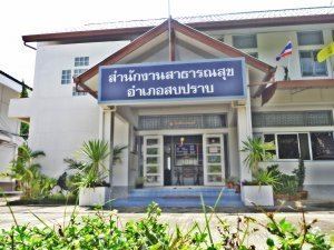 | ||
Sop Prap (Thai: สบปราบ; [sòp pràːp]) is a district (amphoe) in the southern part of Lampang Province, northern Thailand.
Contents
Map of Sop Prap District, Lampang 52170, Thailand
History
The district was downgraded to a minor district (King Amphoe) on December 28, 1917 and made a subordinate of Ko Kha district. It then consisted of the three tambon Sop Prap, Samai and Mae Kua. It was upgraded to a full district on January 1, 1953. Mr.Phayon Chanthanakhom was the first head officer of the district.
Etymology
The name Sop Prap comes from the Prap River, which joins the Wang River in the district area. It is also a name to commemorate the courage of the people in the area, who defeated the Burmese troops till they retreated.
Geography
Neighboring districts are (from the south clockwise): Thoen, Soem Ngam, Ko Kha, Mae Tha of Lampang Province and Wang Chin of Phrae Province.
The important water resource are the Wang and Prap Rivers.
Administration
The district is subdivided into 4 subdistricts (tambon), which are further subdivided into 35 villages (muban). Sop Prap is a township (thesaban tambon) which covers parts of tambon Sop Prap. There are further 4 Tambon administrative organizations (TAO).