
Time zone CST (UTC-6) Area 97.18 km² Population 494 (2010) | Established November 6, 1849 Elevation 201 m Local time Sunday 8:27 PM | |
 | ||
ZIP codes 62318, 62341, 62354, 62358 Weather 10°C, Wind SW at 10 km/h, 89% Humidity | ||
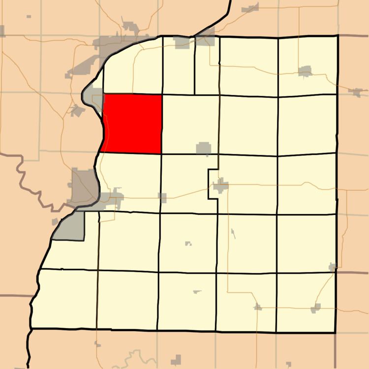
Sonora Township is one of twenty-five townships in Hancock County, Illinois, USA. As of the 2010 census, its population was 494 and it contained 234 housing units.
Contents
- Map of Sonora Township IL USA
- Geography
- Cities towns villages
- Unincorporated towns
- Extinct towns
- Cemeteries
- Major highways
- Airports and landing strips
- Landmarks
- School districts
- Political districts
- References
Map of Sonora Township, IL, USA
Geography
According to the 2010 census, the township has a total area of 37.52 square miles (97.2 km2), of which 35.79 square miles (92.7 km2) (or 95.39%) is land and 1.73 square miles (4.5 km2) (or 4.61%) is water.
Cities, towns, villages
Unincorporated towns
(This list is based on USGS data and may include former settlements.)
Extinct towns
(These towns are listed as "historical" by the USGS.)
Cemeteries
The township contains these seven cemeteries: Nauvoo City, Nauvoo Two, Oak Grove, Pioneer Saints, Saints Peter and Paul, Sterns and Thornber.
Major highways
Airports and landing strips
Landmarks
School districts
Political districts
References
Sonora Township, Hancock County, Illinois Wikipedia(Text) CC BY-SA