
Country India Region Magadha District Jamui Elevation 106 m | State Bihar Division Munger Time zone IST (UTC+5:30) Area code 06349 | |
 | ||
Sono is a 'tehsil'/block (administrative division) in the Jamui district of the Indian state of Bihar. It lies in the southern part of Bihar very close to the Jharkhand border. Sono block is divided into 19 Gram panchayats.
Contents
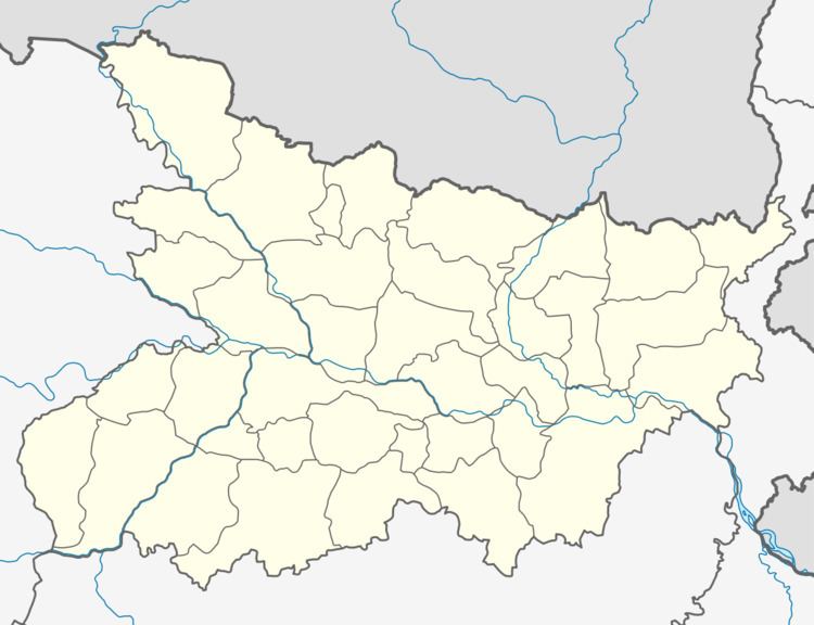
- Map of Sono Bihar 811314
- Demographics
- Nearby towns
- Schools and colleges
- Transportation
- Airports
- References
Map of Sono, Bihar 811314
Demographics
The Tola Sono village has 1,833 families with population of 9,932 of which 5,321 are males while 4,611 are females as per Population Census 201. In Tola Sono village the population of children with age 0-6 is 1,607 which makes up 16.18 % of total population of village. Average Sex Ratio of Tola Sono village is 867 which is lower than Bihar state average of 918. Child Sex Ratio for the Tola Sono as per census is 902, lower than Bihar average of 935. In 2011, the literacy rate of Tola Sono village was 75.81 % compared to 61.80 % in Bihar. The male literacy stands at 84.67 % while the female literacy rate was 65.50 %.
Nearby towns
Schools and colleges
Sono has a small number of schools, up to the higher secondary level, but it lacks graduate colleges or English-medium schools. For this reason, students often move to nearby cities such as Jhajha, Jamui and Deoghar. Some students travel to Jhajha every day for school, and others stay in Jhajha in lodges or hostels. Some schools in Jhajha provide bus services for students in Sono, such as St.Joseph's School, Sardonyx School, and Sunflower academy.
Schools in Sono include:
Transportation
Since there are no railway to Sono, the main means of transportation is roadways. It is connected to nearby cities through the Jamui-Jhajha-Chakai Road (SH 18).The nearest railway station is Jhajha Station, 13 km from Sono. Frequent auto service is available from Jhajha to Sono. Jamui railway station is around 32 km from Sono.
There is one govt. Hospital namely swastha kendra with some qualified doctors to give medical aid
Airports
The nearest airports to Sono include:
- Lok Nayak Jayaprakash Airport, Patna (220 km)
- Gaya Airport, Gaya (194 km)
- Netaji Subhas Chandra Bose International Airport, Kolkata (406 km)
- Birsa Munda Airport, Ranchi (367 km)
- Deoghar International Airport, Deoghar (77 km). This airport is under construction and will start functioning by end of 2016.