
 | ||
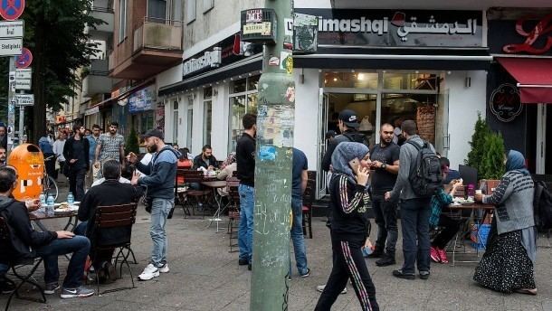
The Sonnenallee is a street in Berlin, Germany, connecting the districts of Neukölln and Treptow-Köpenick. The street is 5 km long, crossing Baumschulenstraße at its south east end and terminating at Hermannplatz in the north west. Sonnenallee was constructed at the end of the 19th century. The area around the Sonnenallee was created to cater for the rural drift to the city of that period. Today the street is also called "Little Beirut" or "Gaza Strip", because of its high percentage of Arab immigrants.
Contents
Map of Sonnenallee, Berlin, Germany
History
During its history, the Sonnenallee has been known under various other names. At the beginning the street was known simply as Straße 84 (Street No. 84). In 1893, five years after the death of Kaiser Friedrich Wilhelm the street was renamed in his honour. In the 1920s the street was extended to the south east and named Sonnenallee.
During the communist period the street was intersected by the Berlin Wall including a border crossing.