
Sub-provincial city Harbin Website songbei.gov.cn Local time Monday 4:38 AM Province Heilongjiang | Time zone China Standard (UTC+8) Area 736.3 km² Population 236,848 (2010) | |
 | ||
Country People's Republic of China Harbin district map 1
2
3
4
5
6
Shuangcheng
Hulan
Bayan
County
Mulan
County
Tonghe
County
Yilan
County
Bin
County
Fangzheng
County
Acheng
Yanshou
County
Shangzhi
(city)
Wuchang
(city)
1. Daoli
2. Daowai
3. Songbei
4. Nangang
5. Pingfang
6. Xiangfang Weather -4°C, Wind NW at 5 km/h, 77% Humidity Points of interest Harbin Polarland, Bingxue Big World, Sun Island Park, Taiyang Island Xuebohui, Russian Style Town | ||
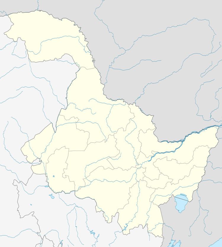
Songbei District (simplified Chinese: 松北区; traditional Chinese: 松北區; pinyin: Sōngběi Qū) is one of nine districts of Harbin, the capital of Heilongjiang province, People's Republic of China, forming part of the city's urban core. Its name literally means "north of Song", referring to its position north of the Songhua River which runs through the city. It borders the districts of Hulan to the northeast, Daowai to the east, and Daoli to the west, as well as the prefecture-level city of Suihua to the north and west.
Map of Songbei, Harbin, Heilongjiang, China
References
Songbei District Wikipedia(Text) CC BY-SA