
Country Thailand Postal code 72110 Area 750.4 km² Province Suphan Buri Province | Time zone THA (UTC+7) Geocode 7207 Population 127,411 (2013) | |
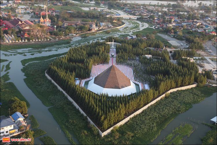 | ||
Song Phi Nong (Thai: สองพี่น้อง; [sɔ̌ːŋ pʰîː nɔ́ːŋ]) is the southernmost district (Amphoe) of Suphanburi Province, central Thailand.
Contents
- Map of Song Phi Nong District Suphan Buri Thailand
- History
- Geography
- Central administration
- Local administration
- References
Map of Song Phi Nong District, Suphan Buri, Thailand
History
The district was established in 1896. In the past the area of the district included U Thong district. The district office was moved away from the Song Phi Nong canal to the present location in 1964 because the old location was prone to flooding.
Geography
Neighboring districts are (from the north clockwise) U Thong and Bang Pla Ma of Suphanburi Province, Lat Bua Luang of Ayutthaya Province, Bang Len and Kamphaeng Saen of Nakhon Pathom Province, and Tha Maka and Phanom Thuan of Kanchanaburi Province.
The main water resource of the district is the Tha Chin river or Suphan river.
Central administration
The district Song Phi Nong is subdivided into 15 subdistrict (Tambon), which are further subdivided into 140 administrative villages (Muban).
Local administration
There is one town (Thesaban Mueang) in the district:
There is one subdistrict municipality (Thesaban Tambon) in the district:
There are 14 subdistrict administrative organizations (SAO) in the district: